Route shape (simplified) start and finish
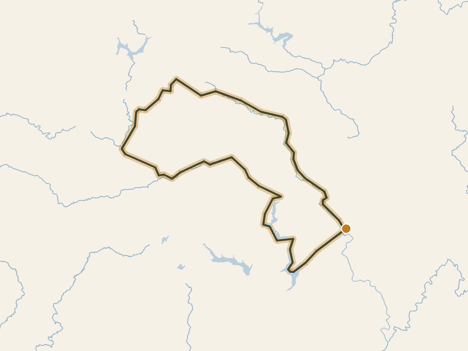
Map data © OpenStreetMap contributors
About this ride
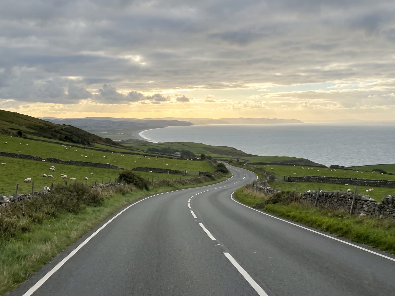
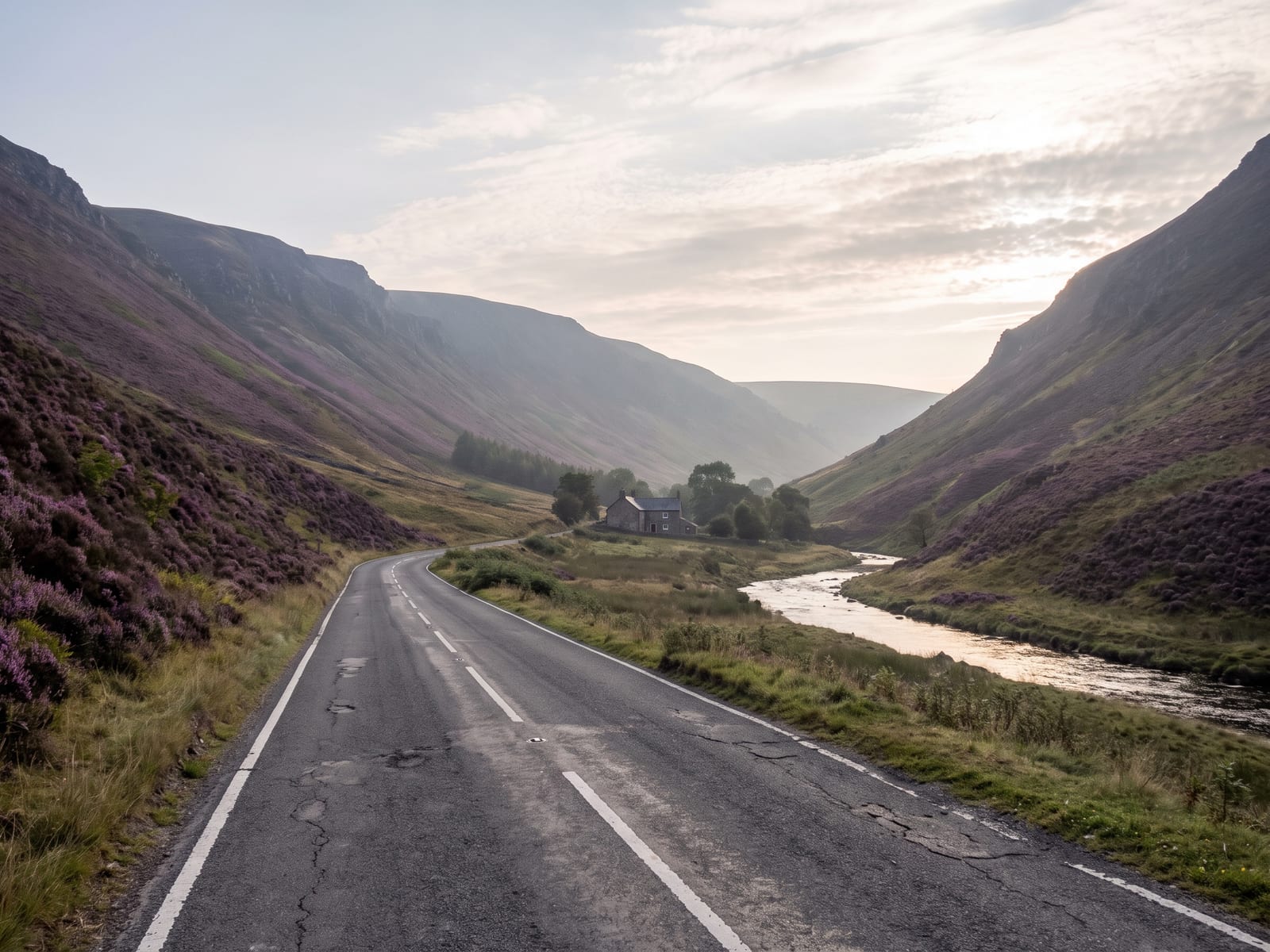
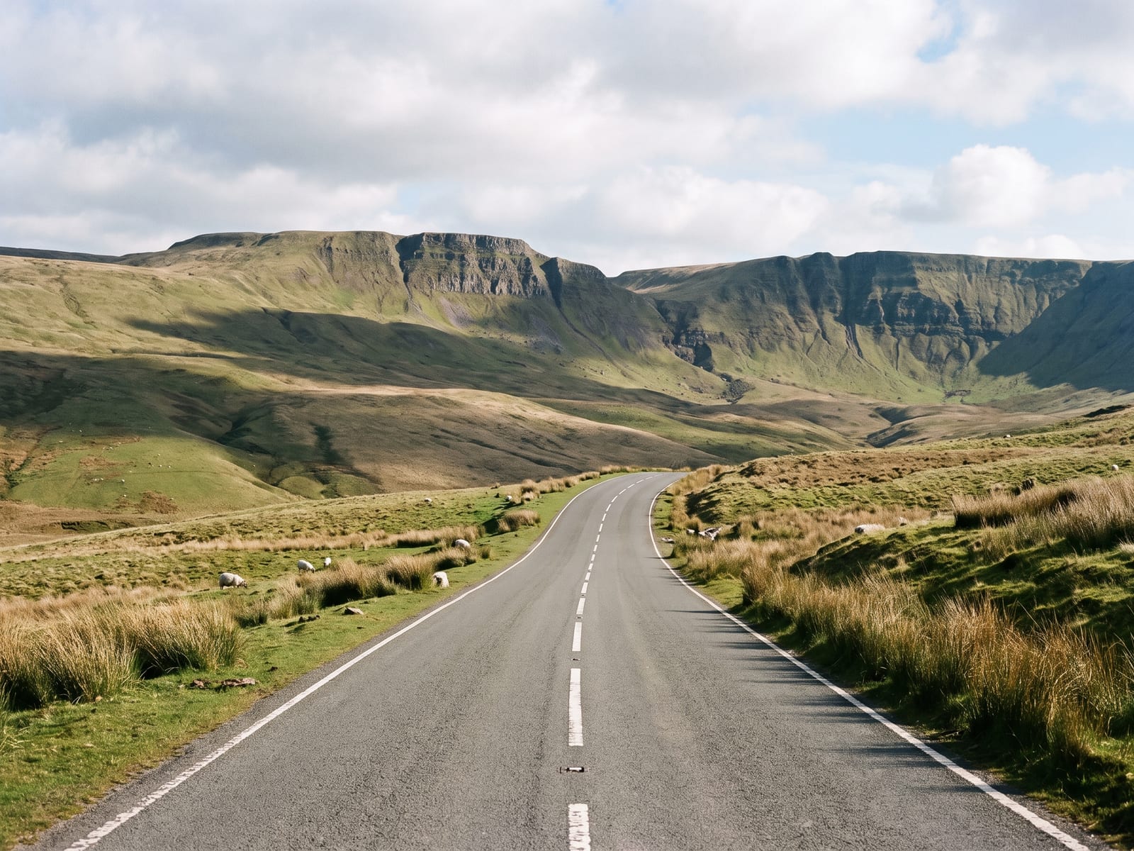
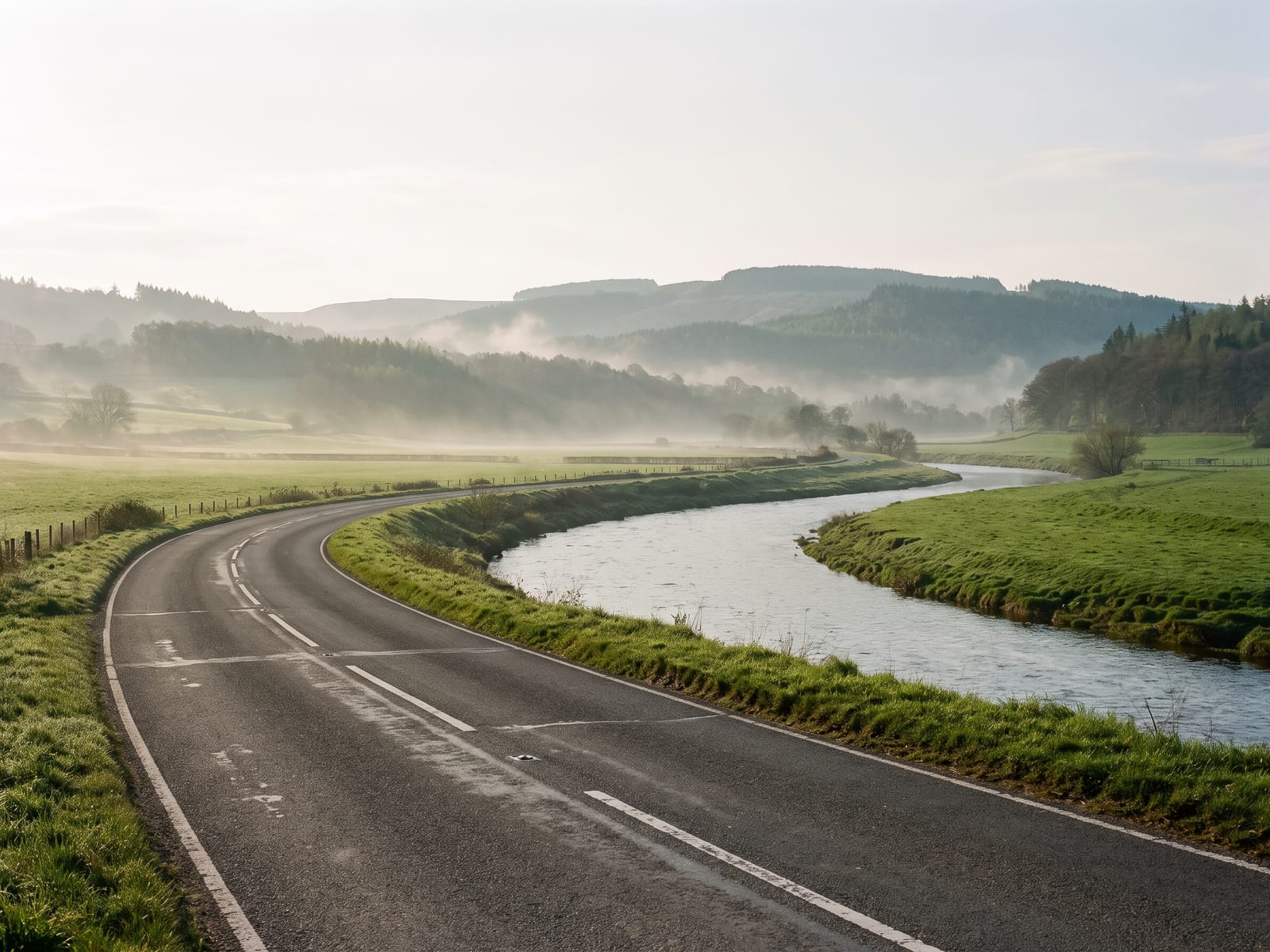
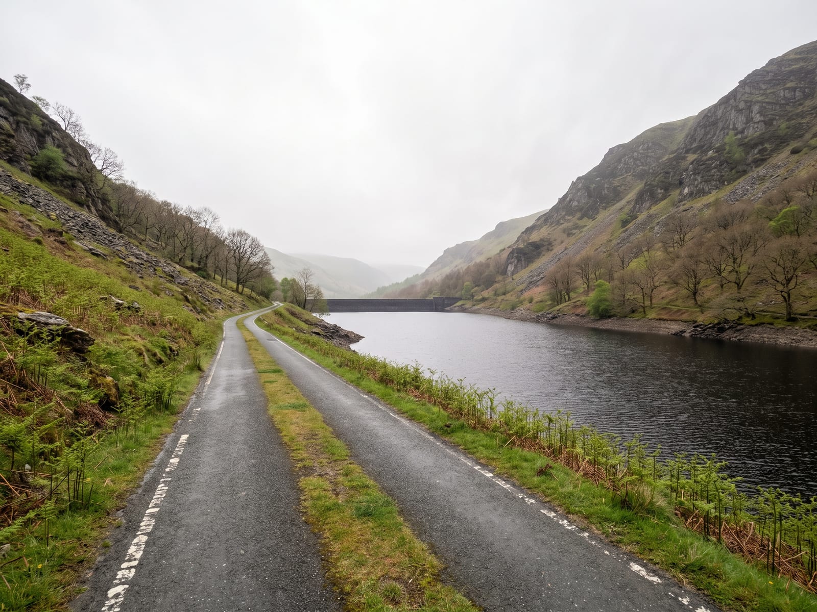
A short loop with a serious heart: a chain of old stone dams in a steep wooded valley, then a long narrow road across empty mountain moor, then a river valley back down to town. The scenery is wild and the road is genuinely remote.
The mountain crossing is the hard bit. It is roughly seventeen miles of single-track with passing places, cattle grids, loose gravel on the edges and sheep that will not shift. There is no fuel on the whole route, so tank up first, carry a phone with an offline map, and avoid it in poor weather or at dusk. Go on a dry day between May and September.